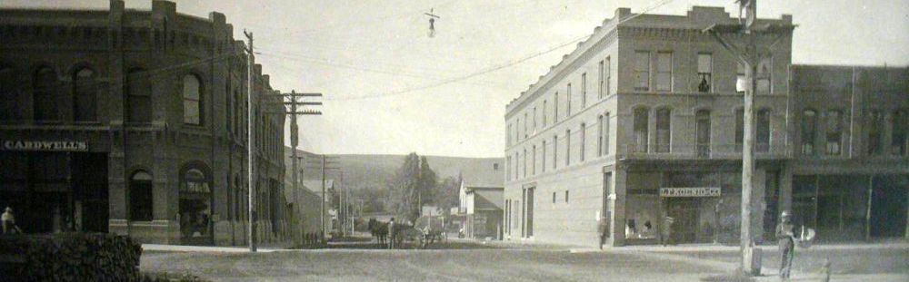
Pomeroy Washington Downtown National Historic District
News from the

January 2, 1958
Page 1
Navigation of the Snake river from its mouth 140 miles to Clarkston and Lewiston, Idaho, is the topic of some conversation now and then in Pomeroy because of the fact that the Snake forms the north boundary of the county. Below are the dream and possibilities that the backers of the four proposed dam projects put forth. The story gives a good picture of the projects and should be interesting to all local residents.
For 140 miles, from Lewiston and Clarkston to its mouth, the turbulent Snake River cuts its course through some of the richest wheat-growing counties in the nation. Along its banks are abundant cattle lands, productive wheat ranches, and desolate rocky plateaus. The farmers and cattlemen of the counties bordering this vital artery have long eyed the Snake River as the ideal means of transporting their products to the waiting markets to the west.
Navigation a Drawback
The problem of navigation has been the single drawback to the cheap transportation that has flowed ceaselessly past their very doorsteps. Practically impassable rapids have kept all but the most intreped [sic] steamboatmen from navigating this tricky river. During low water periods of fall, winter, and early spring, the bottom of the Snake river is literally "too close to the top", and river traffic must come to a halt.
U.S. Army photo of Lower Granite
The Snake from Lewiston and Clarkston to its mouth, taps six eastern Washington counties—Asotin, Garfield, Columbia, Whitman, Franklin and Walla Walla. Each of these will benefit to the tune of thousands of dollars annually when slack-water navigation permits tugs and barges to bring their low-cost shipping advantages to the hinterland.
Only one of these six counties will not have a dam within its boundaries when the four proposed projects are completed. Asotin County, with only a few miles of river frontage on the Snake below Clarkston, will lack a dam. Walla Walla County and Franklin County will shore Ice Harbor and Lower Monumental. Little Goose will be anchored in Whitman County and Columbia County, and Lower Granite will be located in Garfield and Whitman counties.
The Lower Granite pool, however, will provide deep water from the dam to Clarkston-Lewiston, with adequate mooring and docking facilities available on the Asotin County bank.
Since the pool behind each dam will back slack water up to the next up-river dam, constant depth can be maintained.
Lowest downstream of the dams is Ice Harbor, 9.7 miles from the confluence of the Snake and Columbia. A well-maintained county road runs from Burbank to Eureka, passing the damsite enroute. The road from Pasco to Kahlotus passes within a few miles of the Franklin County end of the dam. Relocation of some county roads, 10.8 miles of Spokane, Portland and Seattle rails on the north bank, and 35.8 miles of Union Pacific tracks on the south bank, will be made necessary by the pool level.
Forty-four and seven-tenths miles from its mouth the Snake will be spanned by Lower Monumental Dam. The damsite will be about 12 miles downstream from Lyons Ferry. A Walla Walla county road ends at Magallon, on the south bank of the river, quite close to the dam. From Kahlotus, in Franklin County, to the closest river point, it is probably under 10 miles, but no road exists to the proposed dam location.
Relocate Railroads
Water levels in the Lower Monumental pool will require the relocation of several miles of county road and the construction of 13 miles of access road from Clyde to the damsite. Twenty-four and a half miles of Northern Pacific Rails on the north bank, and sixteen and three-tenths miles of Union Pacific trackage on both sides of the Snake will, need to be moved.
Lyons Ferry, served by the Union Pacific railroad, and by road from Prescott and Waitsburg, will lie approximately at the midway point on the Lower Monumental pool.
Five miles up-river from Riparia, solidly anchored in Columbia County on the south bank and Whitman County on the north, will be Little Goose Dam.
The Central Ferry bridge carrying state highway 3 to Colfax and Spokane, crosses this pool about 10 miles upstream from the damsite. From Delaney, a good county road passes directely by the proposed location, and 10 miles of new access road from Starbuck to the dam will be constructed. From Colfax to the Snake River is slightly over 30 miles, a relatively short haul to waiting barges.
Dayton, county seat of Columbia County, lies almost due south of the Little Goose site. Year-round highway will connect this community with the river facilities to the damsite.
Again some road and railroad relocation will be necessary as the Little Goose pool fills. Actually, between Riparia, on the Lower Monumental pool, and Lewiston, near the upper end of the Lower Granite pool, 67 miles of Camas Prairie railroad track will need to be moved to higher ground.
Other localities on the Snake within the confines of the Little Goose pool include Penewawa. 20 miles upstream from the dam, Almota, 30 miles up-river, and Wawawai, approximately 40 miles upstream from the dam.
Pomeroy, centrally located in Garfield County, will have access to the Snake at several points through existing roads to the Little Goose pool. From Whitman County on the north, landings and moorages will be readily available from Lacrosse, Dusty, Colfax, and other grain storage points.
Twenty-seven miles downstream from Clarkston-Lewiston, and the junction of the Clearwater and the Snake, the Lower Granite Dam will cross the stream. A 41-mile pool will separate Little Goose and Lower Granite, which will lie in a relatively inaccessible stretch of the Snake. Closest town will be Wawawai, three miles downstream, but the Camas Prairie Railroad and a county road, border the north bank of the river, passing the damsite. Stretches of both will have to be located before the pool reaches its maximum depth.
Actually, 19.2 miles of county and access road, from Clarkston to the dam, will be rebuilt. Present county roads from Alpowa and Pataha reach to within a few miles of the dam location, but extensions will be necessary to bring transportation directly to riverbank landings.
From Pullman, in Whitman County on the north, comparatively easy access can be made through Chambers and Colton.
Construction of levees at Clarkston and Lewiston, and relocation of some river-level highway and roads near these cities, will be necessary, also.
Will Benefit Border Counties
Actually, every Washington County bordering on the Snake River, will benefit materially from construction of the four proposed multiple-purpose dams. New roads, new communities, river landings and moorings, irrigation, recreation, and faster, cheaper, river transportation all will combine to bring new income into county and city treasuries.
Farmers will benefit also from shorter hauls to river-bank loading places, and grain storage warehouses will be able to truck directly to barges.
In Columbia County, for example, out of 14 warehouses and elevators, two are seven miles or less from Riparia, on the river. Longest haul would be 37 miles, with the majority 30 or less.
Mooring facilities will be provided on both the upstream and downstream ends of the locks at all dams. All power houses will be located on the south ends of the spillways, all locks on the north side of each dam. Fishways will be provided on each end of the dams.
Locks will be 86 feet wide and 540 feet long, sufficient to accommodate and existing and proposed river barges.
With completion of the four proposed locks and dams on the Snake River, navigation will be possible for 495 miles from the mouth of the Columbia. Locks already constructed at Bonneville, The Dalles, and McNary dams, on the main stem of the Columbia River, will permit deep-sea barges to reach the heart of the Inland Empire.
-- o O 0 O o --
oo O oo
